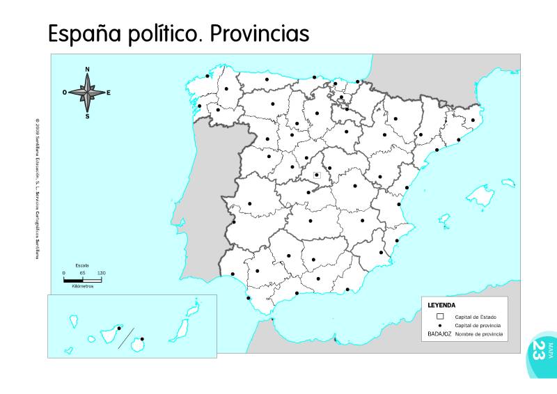
mapa-provincies-espanya.jpg
Size of this preview: 800 × 566 pixels. Other resolutions: 350 × 248 pixels 876 × 620 pixels 1752 × 1240 pixels 2628 × 1860 pixels 3504 × 2480 pixels
wiki:geografia:mapa-provincies-espanya.jpg ( 3504 × 2480 pixels )
Information
| Data: | 2012/04/09 01:16 |
|---|---|
| Nom de fitxer: | mapa-provincies-espanya.jpg |
| Format: | JPEG |
| Mida: | 722KB |
| Ample: | 3504 |
| Alçada: | 2480 |
Referències per a
Aquesta llista pot no estar completa per restriccions ACL i per llistes ocultes
- geografia.txt
- Darrera modificació: 2022/12/23 18:32
- per albert
